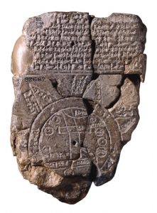
A man on the street laughed at me the other day for reading a map. “Hahaha, a map! Didn’t know people still had those.” Now, I can’t afford a GPS right now, and I don’t have a fancy new car with navigation systems, but….Even if I could have this stuff, I like my maps.
I’ve always loved maps. Topographical maps, maps of constellations, maps of neighborhood streets, highway maps. I like seeing a thing in relation to all the other things it shares a space with. Maps can be inaccurate, of course, but then so can satellite navigation, I’m told. I don’t entirely trust any technology. I’ve seen a compass go haywire more than once, and I’ve learned to trust my sense of direction . But I think learning to read a map has helped me develop a good sense of direction.
I like having a picture in my head of where I’m going. I can’t understand people who are content to know how to get to there. “Turn right, go .5 miles, turn left.” Don’t you want a picture in your head of the landscape, to know how the streets are oriented, how the geographical features relate to one another? Don’t you want to view the whole journey at once, not just one turn at a time?
I wonder what it’s like to not have a spatial conception of the world. Like, I used to marvel at how people lived back when they didn’t have reasonably accurate maps. I felt sorry for them. They must have had to go to the highest point in the county, many times, to memorize the landscape. But maybe they didn’t. Maybe they just didn’t care, saying “I know how to get to where I want to go.” Now, with electronic navigational systems, is spatial understanding being lost again? I mean, somebody laughed at me for looking at a map.
